Voyageurs National Park
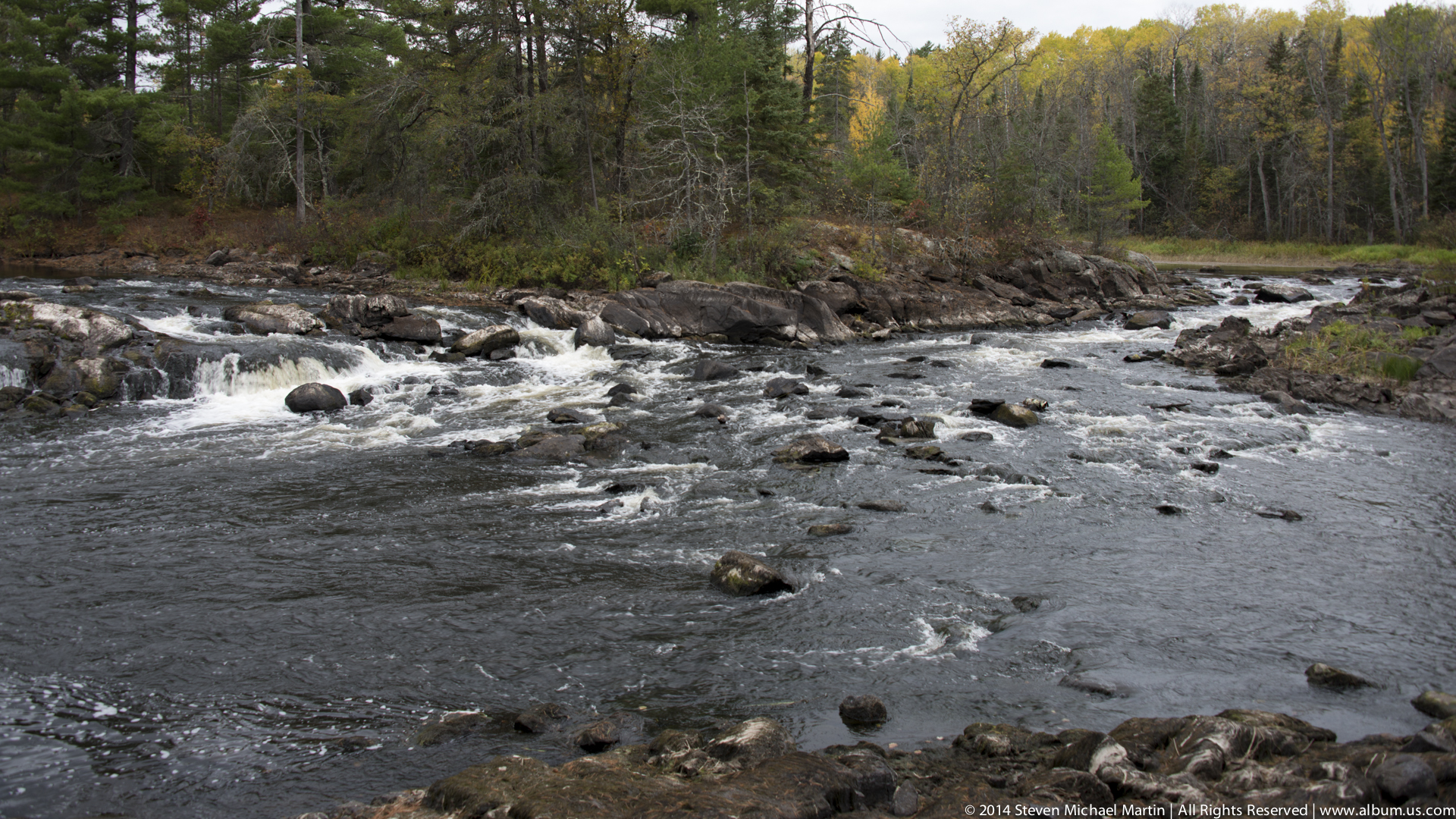
Voyageurs National Park preserves a landscape of interconnected lakes and waterways that closely resemble the environments traveled by French and French-Canadian voyageurs during the height of the fur trade. Located along the border between the United States and Canada, the park includes large expanses of water separated by forested islands and rocky shorelines characteristic of the northern Great Lakes region. These waterways formed natural transportation corridors that allowed travel deep into the continental interior.
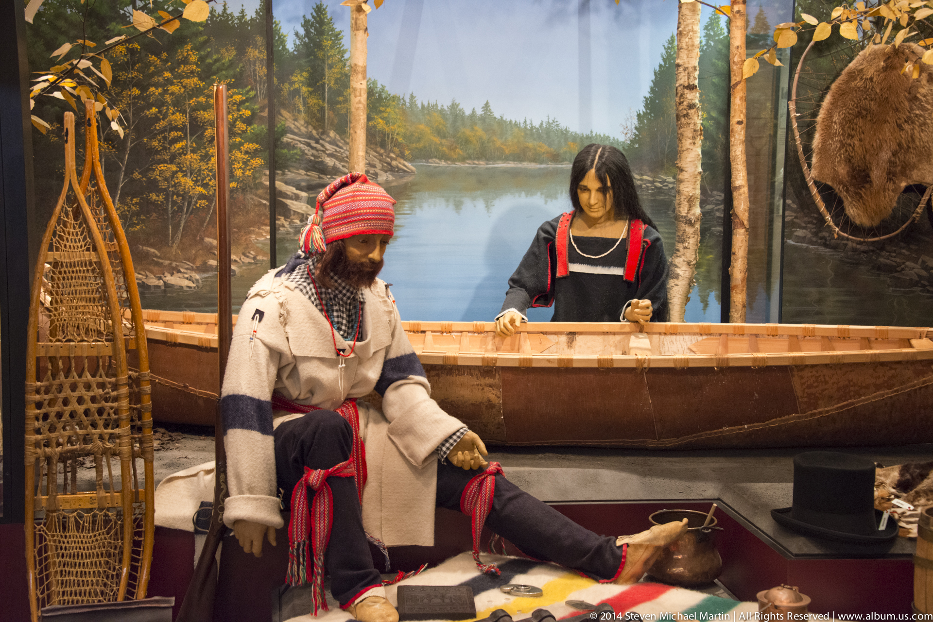
The voyageurs relied on birchbark canoes that were light enough to be carried across portages yet strong enough to transport large quantities of goods. Routes through this region connected Lake Superior with inland lakes and river systems that extended thousands of miles westward. The success of these journeys depended on knowledge of seasonal weather patterns, navigation techniques, and cooperation among diverse communities engaged in trade.
Today, Voyageurs National Park offers a landscape that closely reflects the geographic conditions encountered during the era of New France. Its lakes, forests, and remote shorelines help illustrate how waterways functioned as highways of commerce and cultural exchange during a period when much of the continent remained sparsely settled by Europeans.








National Park Field Guide
Voyageurs National Park preserves a water-dominated landscape shaped by glacial activity that carved interconnected lakes, rocky shorelines, and forested islands across northern Minnesota. The park’s waterways formed part of historic travel routes used by Indigenous communities and later by French voyageurs transporting goods through extensive canoe networks linking the Great Lakes with the interior of North America.
🧭 Key Features
- Interconnected lake system formed by glacial retreat
- Rocky shoreline landscapes shaped by ancient geological formations
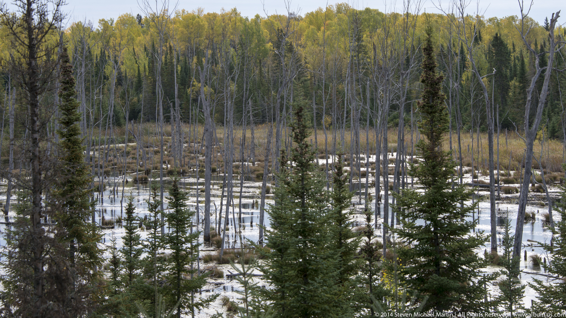
- Boreal forest ecosystems characteristic of northern latitudes
- Historic canoe routes used in the North American fur trade
- Island-dotted waterways illustrating glacial terrain patterns
🌄 Landscape Highlights
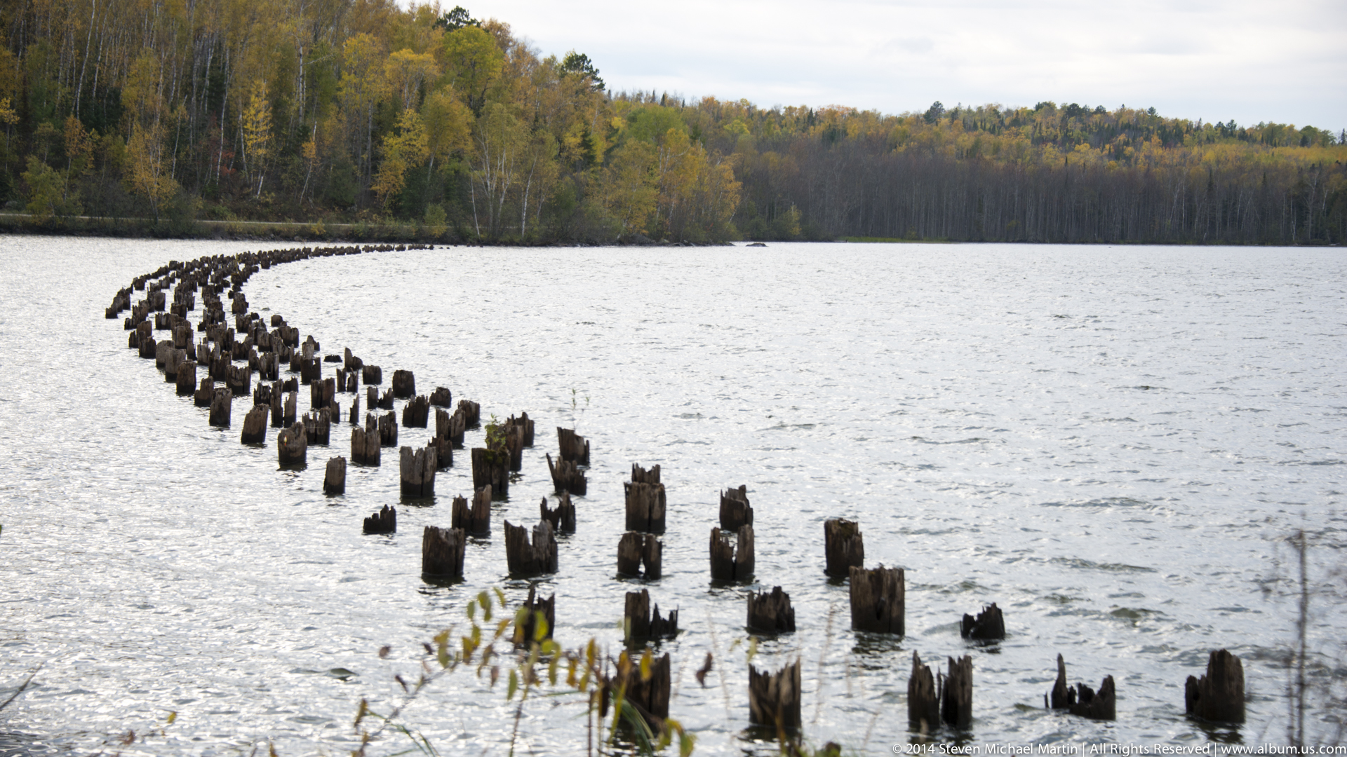
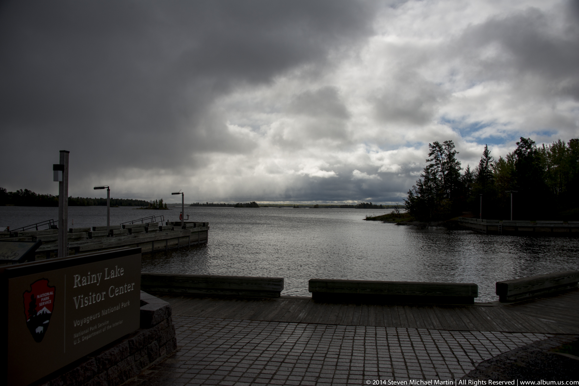
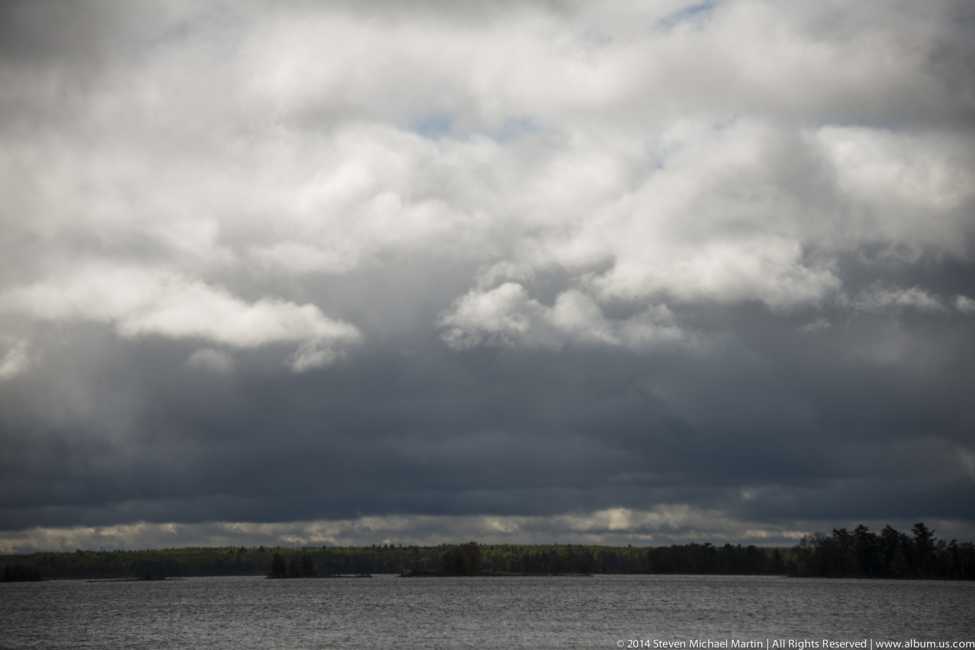
Glacial movement sculpted exposed bedrock, creating irregular shorelines and numerous islands across Rainy Lake, Kabetogama Lake, and surrounding waterways. Reflections of forest and sky on calm water surfaces create a distinctive visual character that emphasizes the relationship between land and water. Seasonal light and weather conditions produce varied atmospheres ranging from clear horizons to mist rising from the lakes.
🌎 Natural Systems
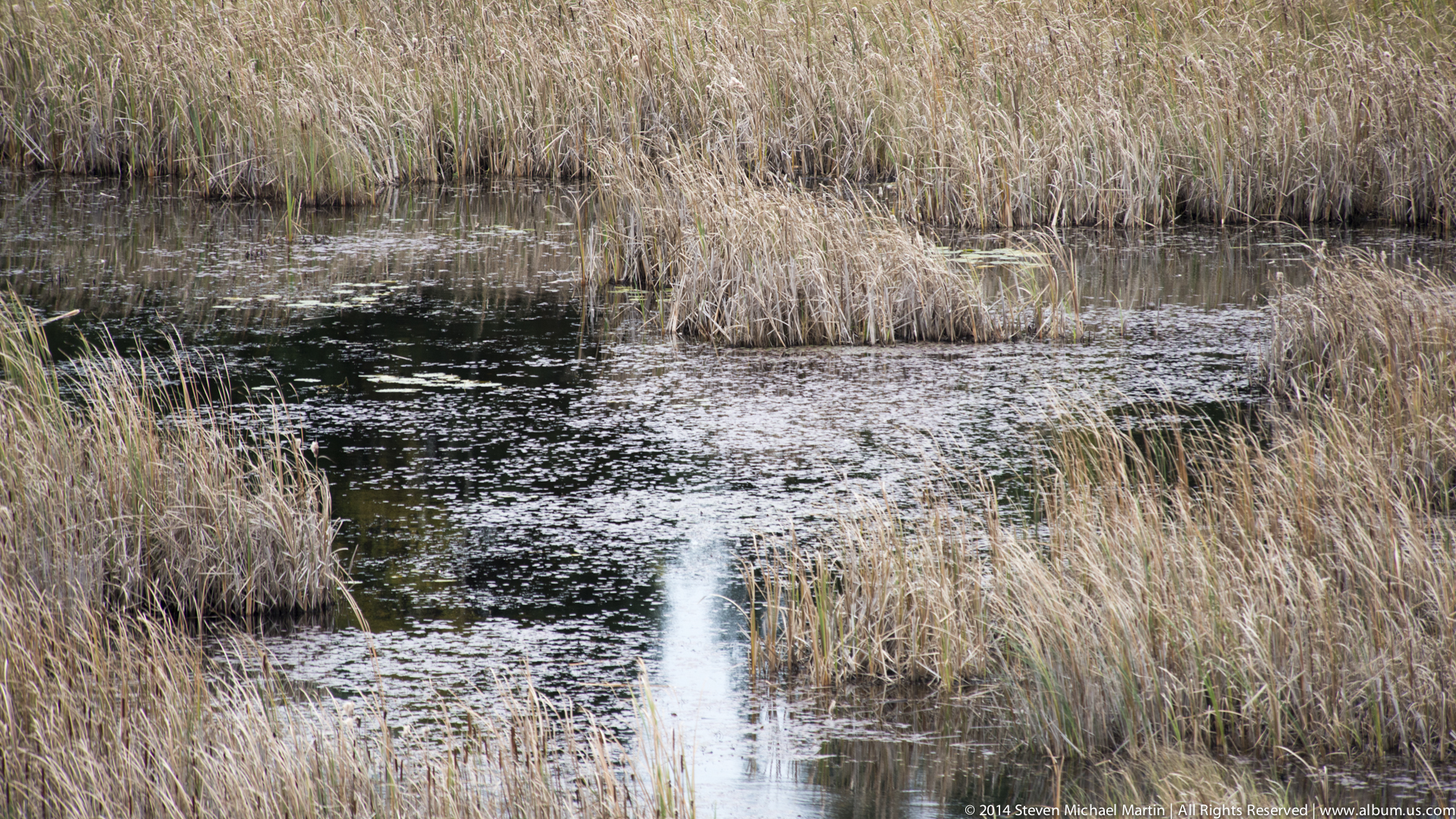
Voyageurs lies within the transition zone between hardwood forest and boreal ecosystems, supporting diverse plant and animal communities adapted to northern climates. Lakes, wetlands, and forest habitats interact to sustain wildlife populations influenced by seasonal temperature variation and precipitation patterns. The park illustrates how glacial landscapes continue to shape ecological relationships across northern environments.
📷 Photography Notes
- Calm water conditions create strong reflections
- Sunrise and sunset enhance color variation on lakes
- Include shoreline rock formations for foreground depth
- Wide compositions show scale of island landscapes
- Cloud patterns add atmosphere to open water scenes
- Look for contrast between forest texture and smooth water surfaces
🌱 Conservation Context
Voyageurs National Park preserves a landscape shaped by glacial forces that influenced travel routes for thousands of years. Protection of interconnected waterways helps maintain ecosystems supporting northern wildlife while preserving historic travel corridors used in early trade networks. The park illustrates the importance of conserving landscapes that reflect long-term geological and cultural history.